Scientists Take To The Trees To Measure Global Warming
Country: US
Author: Sharon Reich
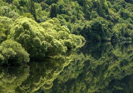
Trees are reflected in the still waters along a
river near Eugene, Oregon July 1, 2008.
Photo: Mike Blake
GIFFORD PINCHOT NATIONAL FOREST - Gliding across the treetops in the Gifford Pinchot National Forest in Washington State may sound like the latest trend in eco-tourism.
But the gondola on the massive Wind River crane is not used for recreational sport -- it's a research tool being used by scientists at the University of Washington to measure the effects of global warming on trees.
For years researchers have been studying trees' ability to absorb carbon dioxide, one of the major greenhouse gases responsible for global warming, but from the ground they've only been able to get half the picture.
Matt Schrader, a University of Washington researcher, said tree tops have been the hardest for scientists to access, yet are considered the most important to examine the health of trees.
"It's the crown ... that's where the tree is actively responding to the environment," Schrader told Reuters TV.
"That's where the tree interacts with other plants and animals and so accessing the crown safely and being able to do it often is important."
A US Geological Survey-led study published in January said tree death rates have more than doubled over the past five decades in the western United States.
Scientists said the increase in mortality will have profound affects on the size of trees and the density of forests.
Schrader said this forest is the perfect location to measure the effects of global warming on trees because it is one of the oldest and densest in the United States, and contains hundreds of years worth of data.
"So being up here at the branch level in the canopy we're able to see these subtle changes that occur from year-to-year and you just wouldn't be able to do that from the ground staring up with binoculars," said Schrader from his man-made aerie.
The Wind River crane measures 285 ft tall and has a jib arm that reaches out 279 ft over the top canopy layer of the forest.
Throughout the forest, sensors are set up to measure different variables that can impact the trees.
The jib is outfitted with an ultrasonic anemometer, which measures wind speed and direction in three dimensions. An ultra-sensitive intake tube draws in air samples, measuring how much carbon dioxide is present in samples of air.
Other sensors that help the researchers determine whether or not carbon dioxide, CO2, is being drawn into the forest, or being released into the atmosphere, include temperature and relative humidity monitors. To get a complete picture of actual carbon levels, CO2 is also measured at the trees' roots.
Dr. Ken Bible, the site director at the Wind River Canopy Crane Research Facility, said the crane and sensors amount to having a "controlled experiment on planet Earth."
"If it's continuous and automated no matter what pattern is going on naturally in the forest you're going to capture it," he said.
In the past, researchers assessed tree growth and yield on a five year basis but by monitoring the sensor data and the needles at the tops of tree branches, Bible and his team can make observations about the flow of carbon dioxide every 30 minutes.
With the ability to conduct long-term studies in forests like this one, whose massive trees can store up to 600 tonnes of carbon per hectare, scientists hope to be able to tell a more complete story about the mortality rate of trees, leaving researchers better equipped to manage global warming.
(Editing by Belinda Goldsmith)
© Thomson Reuters 2009 All rights reserved
![]()