Tracking critical energy infrastructure in the path of destruction
The 2014 hurricane season is now underway, and the U.S. Energy Information Administration (EIA) is making it possible to track the power plants, oil refineries, major electric transmission lines, and other critical energy infrastructure that are in the path of potentially devastating weather activity from all types of mobile devices and tablets -- using the EIA's Energy Mapping System and Energy Disruptions web page.
 |
|
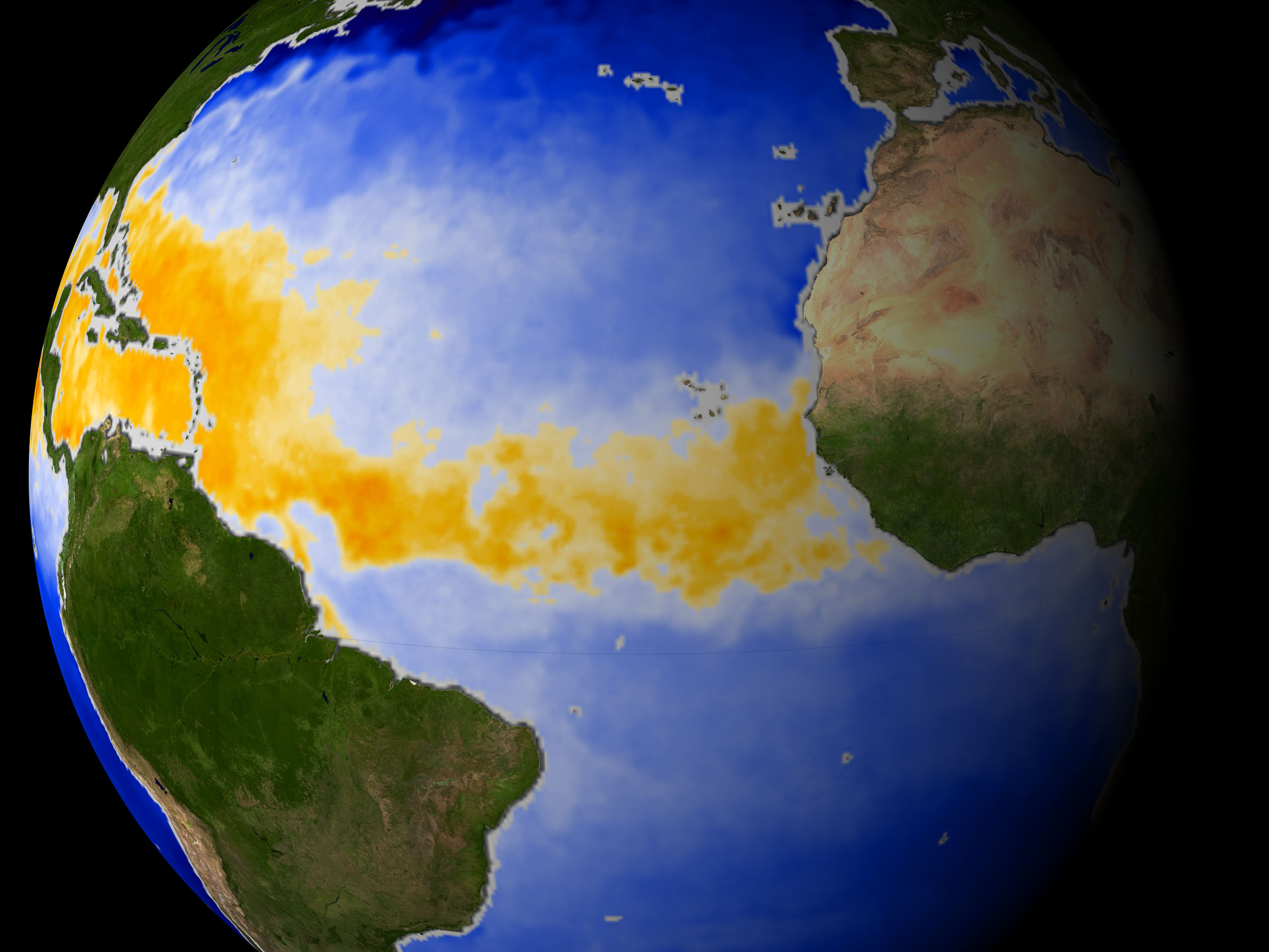
Hurricane Alley. Credit: NASA/Wikimedia Commons |
NOAA, the National Oceanographic and Atmospheric Administration, projects with 70 percent certainty that there will be between eight and 13 named storms from June to November 2014, of which three to six will strengthen to hurricanes, and one or two will become major hurricanes.
EIA's interactive Energy Disruptions web page provides real-time data feeds from NOAA's National Hurricane Center, including the projected path and intensity of tropical storms and hurricanes, enabling users to assess the overlap between storm tracks and more than 40 map layers showing the location of energy infrastructure.
"EIA's U.S. Energy Mapping System not only informs the public about energy infrastructure, it's also a useful tool for state and local officials who must deal with significant weather events," said EIA Administrator Adam Sieminski. "Making these resources accessible on mobile devices is one way that EIA can help emergency response officials and the public readily assess the potential impacts of significant weather events on energy infrastructure in the United States."
For more:
- see the
U.S.
Energy Mapping System
- visit the
Energy Disruptions page
© 2014 FierceMarkets, a division of Questex Media Group LLC. All rights reserved.