Using GPS to measure changes in sea level
By David Szondy
May 26, 2014

The Chalmers system uses satnav signals to measure sea level
Measuring mean sea level is not only an invaluable tool for pilotage, navigation, aeronautics, cartography, sea charting, and geology, it’s also a fundamentally important metric for measuring possible evidence of climate change, and for measuring the direction, extent and rate of such change. Johan Löfgren and Rüdiger Haas of Chalmers University in Sweden have developed a new way of measuring sea level that uses satnav signals for constant, real-time monitoring that promises new insights into many fields, including climate change.
Although mean sea level seems simple to define, it is actually very complex to accurately measure. The geoid, such as the one created by data collected by the Gravity field and steady-state Ocean Circulation Explorer (GOCE), provides a representation of the surface of the Earth's oceans with only the influence of gravity and the planet's rotation to shape them. However, there are plenty of other factors at play. Land masses, the rising of sinking continents and sea beds, ice caps melting, thermal expansion, water salinity, tides, storms, and more can have major effects on sea level measurements.
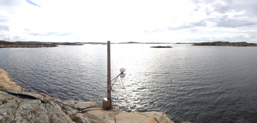
Instead of tide gauges that use electronic sensors in a pipe to measure water level height, the system developed at Chalmers University uses Global Navigation Satellite System (GNSS) radio signals from systems such as GPS, Glonass, and Galileo as a way to directly measure sea level many times a second.
"We measure the sea level using the same radio signals that mobile phones and cars use in their satellite navigation systems," says Löfgren. "As the satellites pass over the sky, the instrument 'sees' their signals – both those that come direct and those that are reflected off the sea surface."
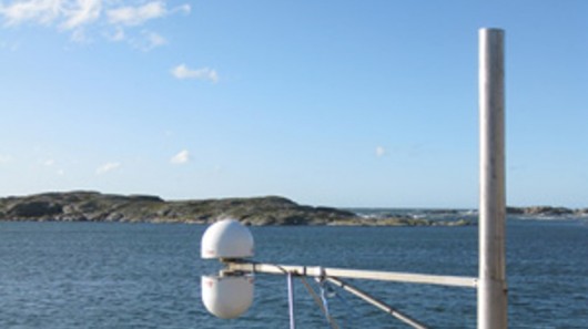
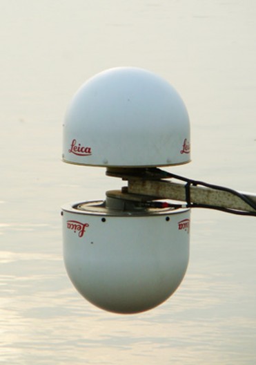
The system uses a pair of antennas housed in white radomes. These pick up satnav signals directly from the satellite and reflected off the water’s surface. By comparing the difference between the two signals, the system is able to measure the sea level 20 times per second.
"Now we can measure the sea level both relative to the coast and relative to the center of the Earth, which means we can clearly tell the difference between changes in the water level and changes in the land," says Löfgren.
The next step in the program will involve complementing the tide gauge station at Onsala Space Observatory with high-precision instruments to monitor the Swedish coast with millimeter precision. In addition, the team says that the system can work with one antenna instead of two, so it could be adapted for hundreds of existing GNSS shore stations around the world.
"We've successfully tested a method where only one of the antennas is used to receive the radio signals," says Löfgren. "That means that existing coastal GNSS stations – there are hundreds of them all over the world – can also be used to measure the sea level."
The team’s findings were published in the Journal of Geodynamics and EURASIP Journal of Advances in Signal Processing.
Source: Chalmers University
Copyright © Gizmag 2003 - 2014

