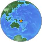
6.9 - SOLOMON ISLANDS
| Magnitude | 6.9 |
| Date-Time |
|
| Location | 9.381S 157.996E |
| Depth | 10 km |
| Distances |
|
| Location Uncertainty | Horizontal: 8.1 km; Vertical 1.9 km |
| Parameters | Nph = 100; Dmin = 862.4 km; Rmss = 1.06 seconds; Gp = 24° Version = |
| Event ID | us 100030pg |
For updates, maps, and technical information, see:
Event Page or USGS
Earthquake Hazards Program
Disclaimer